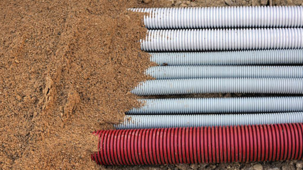
Utility pipelines, and more recently, cables, are buried beneath an ever-changing urban landscape.
Utility pipelines, and more recently, cables, are buried beneath an ever-changing urban landscape. Mapping the Underworld Team, UK, undertook a research project to detect and map them with the help of a multi-sensor device. The project’s findings were presented in a brochure recently. We bring the details.

Most of us are familiar with adventure stories of yore, where maps of buried treasures lost long ago and found decades later by treasure seekers, who went hunting with a map, only to discover the surface landscape changed. Drawing an analogy between such tales and the pioneering research work done by the Mapping the Underworld (MTU) Team to detect and map buried utilities, Chris Rogers, Professor of Geotechnical Engineering University of Birmingham, and MTU’s Principal Investigator, believes that buried pipelines are important assets and the records are considered by many owners to be valuable and commercially sensitive information. He highlights this in his Foreword to the recently released brochure titled Mapping the Underworld.
 Seen in this context, MTU’s initiatives to map the underground utilities to make streetworks safer, more effective and more sustainable, gain a sharper perspective.
“The records often relate the pipeline’s positions to the edge of a road, a building or other feature, and yet today’s urban landscape will often have totally changed,” explains Professor Rogers. “The saving grace is that the routes of many of the roads in our cities [in the UK] tend to remain, so we might have a record of a pipeline in a street, although its position relative to the current road layout is unknown. This leads to another challenge: any attempt to transpose the records from an old map to a new one often leads to inaccuracy. Slightly disturbingly, the analogy of a treasure seeker with a map and a spade is not so very far removed from today’s street workers equipped with utility records and a mechanical excavator.”
Professor Rogers says that there are several reasons why utility pipes and, later cables, are buried in the ground. The chief among them are: for protection from damage by surface activities, vehicles and the weather; to provide support to resist differential movements; and to keep the unsightly arteries of civilised life hidden from view.
“The ground is, therefore, our friend in this endeavour, and in fact, this is where I started my research career – researching flexible pipe support,” reveals Professor Rogers. “However, when we need to excavate to maintain existing, or install new services, the ground becomes our enemy – a barrier to our being able to detect what is where below the surface. Unhelpfully, although we have utility records, they are known not to be wholly reliable (i,e, inaccurate and/or incomplete).”
Given these challenges, what was needed was “x-ray specs”. This is where the EPSRC sandpit (or IDEAS Factory) came in, says Professor Rogers – a concept of inter-disciplinary cooperation. This was because it was thought that the project that MTU decided to undertake needed a wide range of disciplines – a coming together of the most relevant scientists, engineers and other specialists – to create idea models.
He reiterates that of equal importance to the research outputs was the creation of a community around this. Having been asked to lead the MTU initiative, it was vital to create a research community, “and this we have done as a team,” he adds, while also acknowledging the contribution of the stakeholder community which supported the researchers throughout.
“The seed-corn funding was granted for a series of projects under the umbrella of Mapping the Underworld, and the rest is history, or rather the future,” says Professor Rogers. “What we aim to show hereafter [in the brochure] is that x-ray specs do, in fact, feature in a number of guises, as long as you suspend your disbelief.”
The brochure lists the following areas that it explores:
Taking his cue from the last chapter, Prof Rogers says, We have ambitious plans for taking the initiative forward into new spheres of influence, and, if we are successful in raising the funding, we hope everyone will join with us in advancing this novel area of science and engineering.”
In the future, Professor Rogers says, that he would like to look at non-invasive pipeline condition assessment technologies (Assessing the Underworld) and is said to be awaiting reviews of a currently submitted research proposal to take the project forward.
| MTU final dissemination seminar
According to Mapping the Underworld (MTU), a one-day seminar and exhibition was hosted by the MTU Team at the Ordnance Survey Centre, Southampton, UK, on December 12, 2012, to showcase its research into the creation of a multi-sensor device to detect and map buried utilities. The project’s findings were presented alongside national and international developments in the area, and provided an opportunity to explore several initiatives that sought to make streetworks safer, more effective and more sustainable, an MTU news release said. The event attended by more than 120 delegates, reportedly covered UK, European and American perspectives of the challenges and latest advances in remote technologies for pipeline and cable detection, location and mapping. This, it said, appealed to a wide range of stakeholders who have to deal with buried utilities, from those who commission and carry out streetworks, and those who seek to maintain standards and regulations for such works, to those researching and developing geophysical and mapping technologies. Highlighting the activities of the MTU Centre of Excellence, the news release said that it was a commercially-driven training, standards and accreditation initiative set up in collaboration with MTU, being led by Dr Metje and Dr Royal. This training solution demonstrates how academic researcher can successfully come together with practitioners to understand industry needs and develop a facility that has far-reaching implications for industry standards and safety, MTU claimed, and added that this was an exciting development for the industry, as it opened up for the first time the possibility of a national certification scheme – something the industry had wished to see for some time. Further information can be found at www.mappingtheunderworld.ac.uk |
Copyright © 2006-2025 - CPI Industry. All rights reserved.